In an era where technology continues to redefine industry standards, construction site monitoring has evolved significantly. The days of depending only on manual inspections and traditional progress reports are long gone. Contemporary solutions are revolutionizing the way we monitor, measure, and analyze building projects. The powerful combination of drones and photogrammetry is at the forefront of this evolution, transforming building sites into data-rich settings that provide a comprehensive overview of progress, challenges, and opportunities.
Real-Time Progress Tracking and Documentation
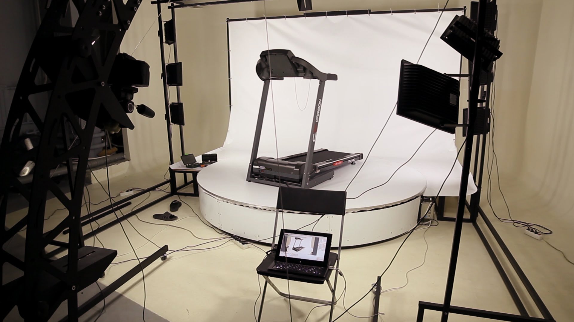
Instead of taking hours or days to gather thorough site data, construction managers may now do so in a matter of minutes. Every area of the site is captured with unprecedented detail by using advanced cameras and sensors. These photogrammetry services in Los Angeles minimize delays and maximize resource allocation by allowing project managers to quickly make well-informed decisions. Moreover, teams are able to produce precise 3D models that display the current construction status at any given time.
Enhanced Safety and Risk Management
Photogrammetry boosts workplace safety by removing the need for personal inspections in dangerous places. Inspection of difficult-to-reach places, such as rooftops and high-rise buildings, has benefited greatly from the use of aerial photography for construction in Los Angeles. With this technology, safety officials can spot possible risks before they become significant problems, resulting in a proactive approach rather than a reactive approach to site safety.
Precise Measurements and Quantity Calculations
Volumes, distances, and areas may be calculated with astonishing accuracy using modern photogrammetry software. This feature is very helpful for progress billing, material management, and earthwork calculations. With a few clicks, contractors may confirm the amounts of materials like concrete, gravel, or dirt, improving resource management and cost control.
Improved Stakeholder Communication
Photogrammetrically produced orthomosaic maps and high-quality 3D models are effective communication tools. Without physically visiting the property, stakeholders can digitally explore it, look at particular areas of interest, and monitor development. This transparency fosters trust and guarantees that everyone stays on the same page during the project’s lifecycle.
Integration with Building Information Modeling (BIM)
When photogrammetry and BIM are combined, a potent ecosystem for construction management is produced. A growing number of drone services companies in Los Angeles are providing solutions that easily integrate with current BIM workflows. Real-time comparison of as-built conditions and design models is made possible by this connection, which facilitates the early detection and resolution of disparities.
Final Thoughts
The integration of photogrammetry Services in Los Angeles represents more than just technological advancement; it’s a revolutionary shift in how construction projects are managed and executed. We’re redefining what’s possible in construction management as we continue employing these innovations, going beyond simply increasing accuracy and efficiency. Photogrammetry is being used to examine the future of construction monitoring, which promises even more interesting advancements in the years to come.
FAQs
How often should aerial photography services be utilized during construction?
It is advised to conduct surveys on a regular basis every two to four weeks, with extra captures during crucial project stages.
Which weather patterns are best for drone photography in the building industry?
The ideal weather conditions for aerial photography are clear skies with little wind (less than 20 mph).
To what extent can aerial photography provide reliable measurements?
When using the right ground control points, modern photogrammetry can attain an accuracy of 1-2 millimeters.
What types of construction projects benefit most from drone services?
Aerial surveillance yields the highest return on investment for large-scale developments, infrastructure projects, and multi-story buildings.
How long does it take to turn data from aerial photographs into 3D models that can be used?
Depending on the size of the project and the required level of output quality, processing usually takes 24 to 48 hours.