How Los Angeles Industries Harness Photogrammetry for Innovation?

Los Angeles has long been a city of innovators, whether it’s in technology, architecture, or entertainment. Today, photogrammetry is one of the most potent tools propelling this surge of efficiency and innovation. Businesses in Los Angeles are adopting this technology to transform their operations, production, and communication by turning photos into intricate 3D models. As Photogrammetry Services in Los Angeles expands, industries are coming up with smarter ways to innovate.

Revolutionizing Architecture and Construction

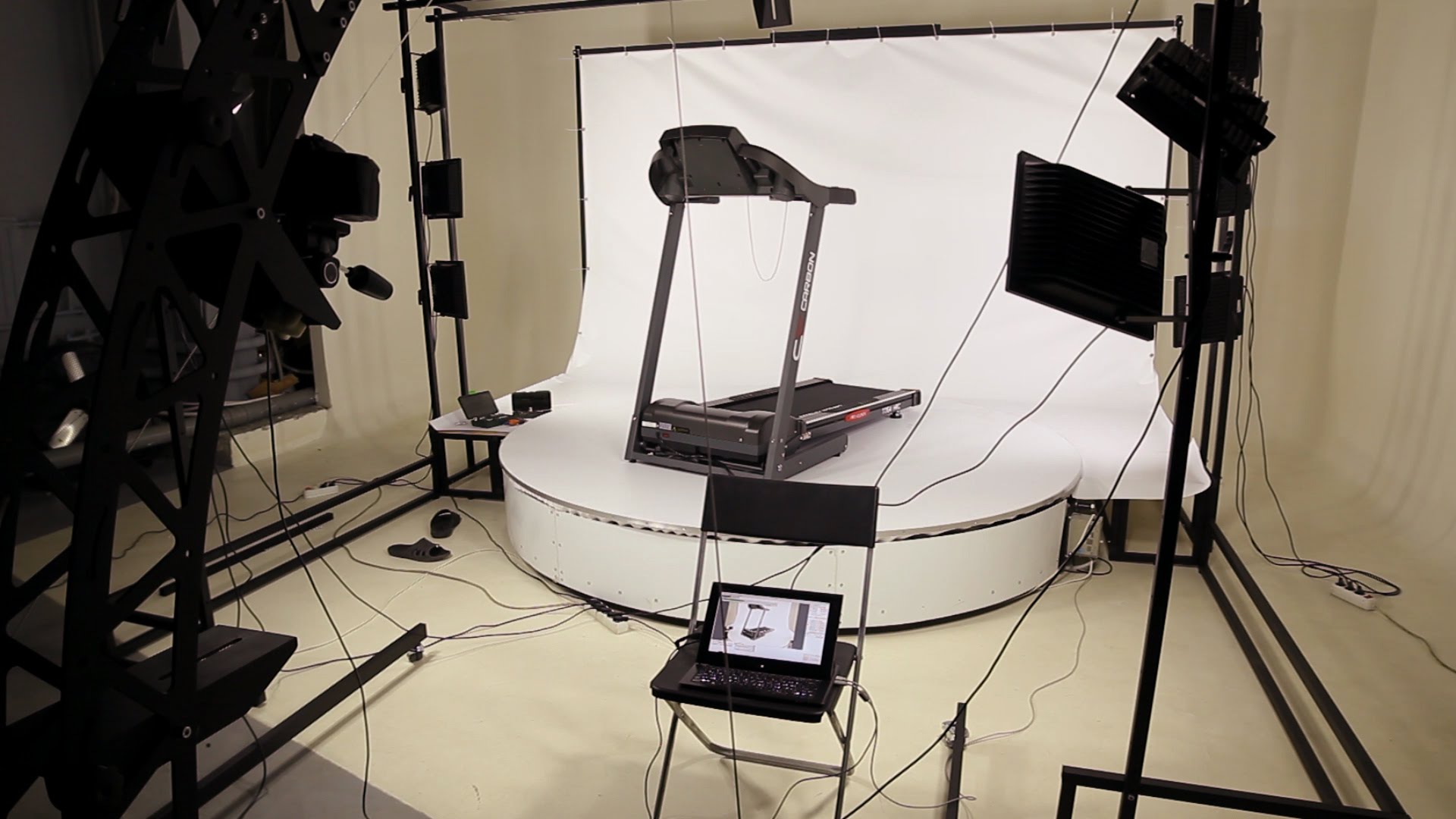
Photogrammetry gives architects and builders extremely precise three-dimensional (3D) models of buildings and sites. Professionals can use these models to expedite planning, decrease errors, and improve project visualization. Los Angeles construction crews employ photogrammetry for surveying, site monitoring, and progress reporting to ensure that every detail is accurate. Lower expenses and a faster project completion time are the outcomes.

Transforming Entertainment and Media

Hollywood is fueled by innovation and realism. Film studios, game developers, and visual effects artists can capture real-world items or locations in breathtaking 3D detail, thanks to photogrammetry. Photogrammetry guarantees a smooth fusion of art and technology in everything from realistic video game environments to immersive film sets. When combined with the best aerial photography services in Los Angeles, the entertainment sector produces stunning images that astound viewers.

Boosting Real Estate Marketing

Photogrammetry is being used by real estate companies to present houses in a more engaging manner. Prospective purchasers can now view 3D property tours in place of flat pictures, which gives them a realistic feel of the layout and size of the home. In a cutthroat LA market, this innovation helps brokers stand out and close deals more quickly.

Preserving History and Culture

Famous landmarks and cultural treasures can be found in Los Angeles. These sites are being digitally preserved for future generations through the application of photogrammetry. From architectural wonders to historic theaters, meticulous 3D scans guarantee that LA’s legacy is accurately recorded and preserved.

Expanding Drone Applications

The application of photogrammetry is being further enhanced by drones. Besides mapping and surveying, businesses are employing experts in drone photography for weddings in Los Angeles as well. Combining aerial photography with 3D mapping benefits professional sectors like real estate and tourism while also producing iconic, cinematic moments.

The Future of Photogrammetry in LA

Photogrammetry will keep pushing the envelope as the need for precise data and visual storytelling increases. Los Angeles demonstrates once more why it is a global center for innovation, with sectors embracing the technology ranging from construction to weddings.

Frequently Asked Questions

What industries benefit most from Photogrammetry Services Los Angeles?
Industries like architecture, real estate, entertainment, and cultural preservation gain the most from photogrammetry. By creating accurate 3D models, businesses improve efficiency, marketing, and customer engagement across multiple sectors in Los Angeles.

Why are the best aerial photography services Los Angeles important for photogrammetry?
High-quality aerial photography ensures precise image capture, which is critical for building accurate 3D models. These services are essential in industries like construction, real estate, and entertainment for delivering professional-grade visual content.

How does photogrammetry improve real estate marketing in Los Angeles?
Photogrammetry helps real estate professionals showcase immersive 3D property tours. This allows potential buyers to virtually explore spaces, understand layouts, and make faster decisions, giving Los Angeles real estate firms a powerful competitive advantage.

Can photogrammetry be used in weddings alongside drone photography?
Yes, couples increasingly choose drone photography for wedding Los Angeles services that integrate photogrammetry. This combination captures aerial views, 3D perspectives, and cinematic moments, providing a unique and memorable way to preserve wedding memories.

What makes Los Angeles a hub for photogrammetry innovation?
Los Angeles combines creative industries like film and media with technical fields such as construction and real estate. This diversity fuels innovation, making LA the perfect city for adopting and expanding photogrammetry services across multiple industries.


The Role of Drones in Enhancing Photogrammetry Accuracy and Speed

Drone integration has transformed the way professionals collect and analyze geographical data in recent years. These unmanned aerial vehicles, which provide previously unheard-of accuracy and efficiency, have revolutionized photogrammetry services in Los Angeles for sectors needing accurate measurement and mapping.


With this technological synergy, professionals can produce intricate 3D models, topographical maps, and geographical analyses with exceptional accuracy and a considerable reduction in project timeframes. Let’s explore the role of drones in engaging photogrammetry accuracy and speed in detail.


Enhanced Data Collection Efficiency

The process of gathering photogrammetry data has been significantly expedited by drones. While drone platforms can capture hundreds of high-resolution photos in a single flight, traditional ground-based photogrammetry techniques may take days to cover huge regions. Rapid data collecting has a direct influence on decision-making procedures and project schedules, making this efficiency especially useful in time-sensitive projects.


Superior Accessibility to Challenging Environments

Photogrammetrists can reach previously difficult or dangerous regions without endangering worker safety. It is now possible to photograph steep terrain, fragile structures, coastal erosion zones, and disaster regions in detail from a safe distance. Regardless of the intricacy of the terrain or safety considerations, this feature is especially useful for aerial photography for construction in Los Angeles, where thorough site documentation is essential.


Increased Data Resolution and Accuracy

With the ability to record photos with resolutions up to 100MP, modern drone-mounted cameras provide ground sampling distances (GSD) of less than 1 cm/pixel. The positional accuracy of these platforms is within 1-3 cm when paired with RTK/PPK GPS systems. With this precision, photogrammetrists can produce incredibly accurate 3D models and orthomosaics that outperform conventional techniques in terms of geometric correctness and detail.


Cost-Effective Operation and Scalability

The operational expenses of drone photogrammetry are much lower compared to conventional techniques. Data that formerly needed several surveyors and costly equipment may now be collected by a single drone operator. High-quality photogrammetric documentation is now economically feasible across a range of project scopes and sectors due to the technology’s effective scalability from small residential projects to large infrastructure undertakings.


Advanced Visualization and Analysis Capabilities

Photogrammetry software combined with drone-captured imagery produces strong visualization tools that improve project analysis and communication. In addition to performing volumetric calculations, teams are able to produce realistic 3D models, extract accurate data, and provide captivating visualizations. This skill has revolutionized aerial cinematography in Los Angeles, where precise spatial modeling enables the realistic pre-visualization of complex shots.


The Bottom Line

Drone usage in photogrammetry indicates an important shift in the way spatial data is collected and processed. Photogrammetry services in Los Angeles will use these aerial platforms more and more to provide quicker, more precise, and more thorough spatial documentation as technology and regulatory frameworks evolve. Drone photogrammetry is now not only beneficial but also necessary for professionals aiming for the highest standards in measurement science to retain technological excellence and a competitive edge.


FAQs


In Los Angeles, what kinds of weather are best for drone photogrammetry?

The optimum weather is clear, overcast days with winds of less than 15 mph. Los Angeles’s plenty of sunshine and low humidity make it the ideal place to take pictures all year long.


For large-scale photogrammetry projects, how much time can drones save?

When compared to conventional techniques, drones usually cut down on data collecting time by 60–80%.


What degree of precision may customers anticipate from drone photogrammetry services?

Los Angeles providers of RTK/PPK-enabled drones give vertical precision of 3-5 cm and horizontal accuracy of 1-3 cm, which is equivalent to traditional survey-grade equipment.


In comparison to conventional techniques, how do drones enhance the monitoring of construction progress?

Drones offer thorough weekly or daily site documentation, facilitating as-built comparisons, timeline verification, and accurate volumetric calculations that are just impossible with land approaches.