In the world of high-end real estate, first impressions are everything. When it comes to marketing multimillion-dollar properties, standard photography simply doesn’t capture the grandeur and scale that luxury homes deserve. That’s where aerial marketing in LA comes in—and Domlockaerials is leading the way.
The Challenge: Showcasing a Luxury Property with Impact
A premier real estate developer in Los Angeles approached Domlockaerials with a goal: to create a marketing campaign that would highlight the stunning architecture, landscaping, and unique location of a $12 million hillside estate. Traditional photography could only go so far—the client wanted visuals that would truly set their property apart in a competitive luxury market.
The Solution: Drone Photography for Luxury Homes in LA
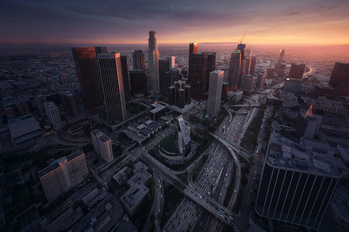
Our team at Domlockaerials designed a comprehensive aerial marketing strategy using advanced drone technology. By capturing the estate from multiple elevations and cinematic angles, we created a visual narrative that showcased the property’s beauty, privacy, and panoramic city views.
Through expert drone photography for luxury homes in LA, we were able to:
-
Highlight the property’s unique architecture and outdoor features
-
Capture sweeping sunset shots that emphasized the home’s scenic backdrop
-
Create dynamic video content for online listings and social media platforms
The result was a breathtaking visual presentation that instantly elevated the property’s market presence.
The Results: Turning Views into Value
After launching the aerial marketing campaign, the real estate firm saw:
-
A 60% increase in online listing engagement
-
Faster inquiries from qualified buyers
-
Significant social media growth through shared drone footage
Buyers reported that the aerial videos gave them a better sense of the home’s scale, design, and location—long before setting foot on the property.
Why Choose Domlockaerials for Aerial Marketing in LA
At Domlockaerials, we specialize in aerial marketing LA services that help luxury real estate professionals stand out. Our team combines creativity, precision, and FAA-certified drone expertise to deliver exceptional results. Whether you’re showcasing an ocean-view mansion, modern hillside villa, or urban penthouse, we help your listings soar above the competition.