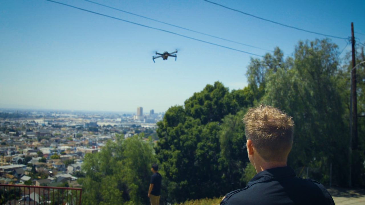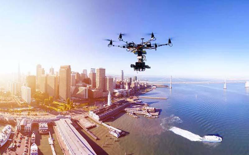
Aerial imaging, which was formerly thought of as a future idea only used in movies or the military, is now a commonplace tool in several industries. Advances in drone technology, photogrammetry, and high-resolution images have made it possible for an aerial imagery company in Los Angeles, USA, to provide revolutionary insights that revolutionize everything from real estate to agriculture.
A New Perspective That’s Redefining Possibilities
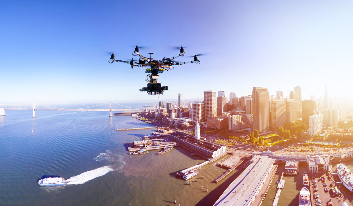
These days, taking pictures of the earth from height is about more than just producing beautiful images; it’s also about acquiring useful, actionable, and frequently transformative data. Imagine being able to analyze large tracts of farmland with pixel-level precision or evaluate a construction site in real-time without ever setting foot on it. Photogrammetry Services in Los Angeles and other contemporary aerial solutions offer just that.
Let’s dive into how different sectors are experiencing this shift:
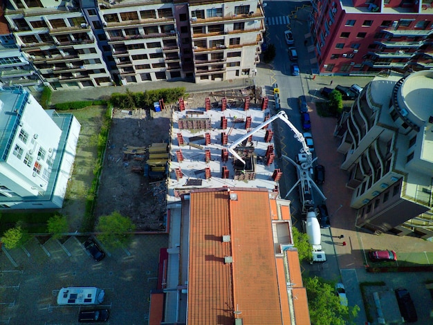
Construction & Infrastructure
Project managers can track developments, spot hazards, and enhance planning with the use of aerial images. Compared to traditional surveys, drone-based site inspections are safer, faster, and much more comprehensive. Businesses can create incredibly precise 3D site models that cut down on rework and expedite deadlines with photogrammetry services in Los Angeles.
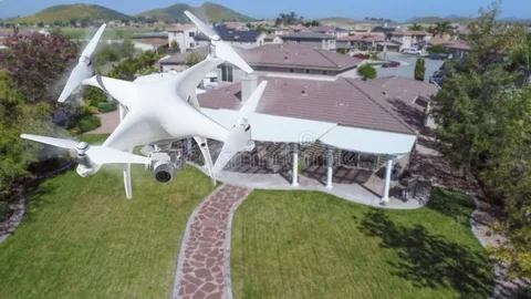
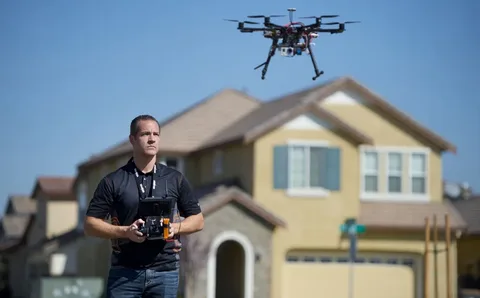
Real Estate & Land Development
Listings augmented with drone photography for landscapes in Los Angeles get more views, display property potential, and help buyers understand space in context. Developers also utilize aerial imagery to plan subdivisions, track erosion, and examine topography before making expensive investments.
Environmental Management
Aerial imagery is essential for fighting wildfires and monitoring coastal erosion. Drone imagery is used by environmental organizations to better manage protected areas, model the effects of climate change, and investigate patterns.
Agriculture & Land Use
One of the main uses of aerial data is precision farming. It helps farmers keep an eye on crop health, identify irrigation problems, and apply treatments only when needed, which cuts down expenses and boosts yields.
Film, Media & Marketing
Visual enchantment must not to be overlooked. Filmmakers, advertisers, and content producers today depend on aerial imagery firms in Los Angeles, USA to produce captivating, cinematic images that were previously unattainable without helicopters.
Why Are Businesses Making the Shift?
Working with a seasoned aerial photography studio is a strategic choice rather than merely a visual enhancement. Businesses now have a competitive edge that was unimaginable ten years ago because of the combination of drone imagery, AI-powered analytics, and scalable solutions.
The Bottom Line!
Adopting aerial solutions is rapidly becoming an operational necessity, regardless of your industry: construction, real estate, farming, or media. It’s likely that your rivals are already using the bird’s-eye edge if you are not.
Frequently Asked Questions
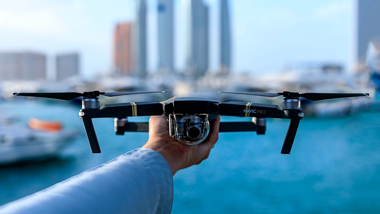
What services does an aerial imagery company in Los Angeles, USA typically offer?
They offer drone photography, photogrammetry, thermal imaging, 3D mapping, and video production.
What is photogrammetry, and why is it useful?
Photogrammetry uses images to create accurate 3D models or maps, ideal for surveying, planning, and analysis.
How does aerial imagery benefit construction projects?
It improves progress tracking, site planning, safety assessments, and cost control.
Can farmers use aerial imagery for crop management?
Absolutely. Drones can detect plant stress, irrigation issues, and growth patterns.
How affordable is drone photography for small businesses?
Many companies in Los Angeles offer scalable packages, making it accessible even for small operations.