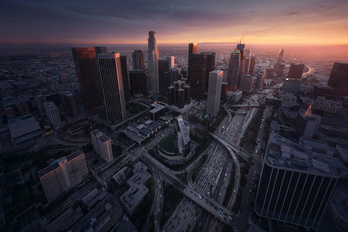
Budgeting for Wedding Drone Photography: Is It Worth the Investment?

Drone photography has become a revolutionary complement to traditional photographic services in the rapidly changing field of wedding photography. Knowing the worth of investment in drone photography in Los Angeles becomes essential as couples are choosing it to capture their special moments from breathtaking angles. Let’s examine the things to take into account and whether the investment is worthwhile.


Unique Perspectives That Traditional Photography Can’t Capture

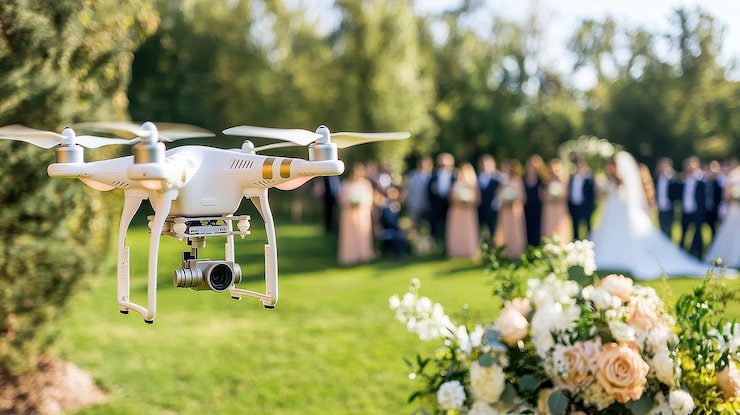
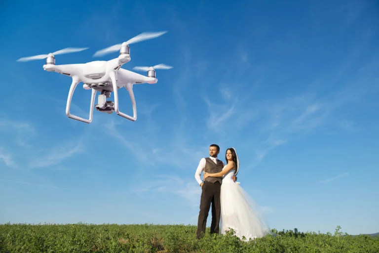
Drone photography for weddings in Los Angeles offers unparalleled aerial views that are impossible for ground-based photographers to capture. Imagine filming a sweeping shot of your complete wedding party arranged in creative formations only visible from above, or filming your outdoor ceremony against the breathtaking Los Angeles cityscape. These striking aerial shots give your wedding album a cinematic feel while elevating everyday moments into unforgettable experiences. Drones offer views that make your wedding images genuinely unique, whether it’s showcasing the grandeur of your venue or taking imaginative group photos.


Cost Breakdown and Value Proposition

Depending on the deliverables and length of coverage, professional drone wedding photography usually adds up to your photography budget. While this could seem like a lot of money, keep in mind that you’re investing in a certified drone operator, cutting-edge technology, and unique artistic perspectives. Drone photography for weddings can help you get the most out of your venue investment in Los Angeles, where wedding venues often feature stunning architectural details or natural landscapes. So while weighing the long-term worth of these treasured memories, you will find that the unique aerial footage makes the extra expense worthwhile.


Professional Expertise and Legal Requirements

Professional drone photographers need to be insured, certified by the FAA, and have a lot of wedding photography experience. They are aware of safety procedures, aviation laws, and the best weather for drone operations. This expertise guarantees not only breathtaking video but also adherence to the law and visitor safety. Moreover, they know how to navigate complex shooting environments while creating artistic, emotion-filled imagery. By hiring a drone photographer, you are investing in expertise that extends well beyond simple camera operation.


Enhanced Storytelling Capabilities

Drone photography gives your wedding documentation a compelling narrative element. From displaying the entire scale of your celebration to revealing the private ceremony setting, it may convey the expanse of your venue. These aerial views contribute to a more comprehensive and captivating wedding story. With the flexibility to switch between ground-level and overhead angles with ease, a dynamic wedding film more like a Hollywood production rather than a conventional wedding video is produced.


Maximizing Your Investment

Look for locations with eye-catching architectural or outdoor characteristics to get the most out of drone photography for weddings in Los Angeles. In the greater Los Angeles area, a lot of couples pick spots with views of the ocean, mountains, or unique urban environments that look breathtaking from above. Collaborate with your photographer to plan particular drone shots, including creative group formations, venue reveal shots or sunset couple portraits. Don’t forget to schedule drone coverage during golden hour for the most flattering natural lighting.


Final Words

Drone coverage is an investment in unique, unforgettable shots that will set your wedding album apart when it comes. Although it does increase the overall photography budget, the unique viewpoints and cinematic effect it adds to your wedding photos frequently prove to be priceless. Keep in mind that working with knowledgeable experts who can maximize the potential of this cutting-edge technology while guaranteeing safety and legal compliance is crucial.


Top Industries Benefiting from 3D Photogrammetry Services

The way that enterprises collect, display, and utilize spatial data has been completely transformed by 3D photogrammetry. Photogrammetry uses sophisticated camera systems and specialized software to turn photos into accurate and comprehensive 3D models. This cutting-edge technology has found application in a wide range of domains, improving project results, accuracy, and productivity. The following are the leading sectors that use 3D photogrammetry services in Los Angeles:
 

Architecture and Construction

 
3D photogrammetry has significantly changed the architecture and building industries. This technology helps in design, planning, and visualization by enabling engineers and architects to create incredibly detailed models of buildings and landscapes. Photogrammetry helps construction projects by rapidly capturing large-scale sites, allowing for more accurate measurements and better site analysis. Photogrammetry reduces mistakes throughout the restoration process by offering accurate as-built documentation for refurbishment projects. Moreover, collaborative decision-making and stakeholder presentations are supported by the ability to build 3D walkthroughs.
 

Real Estate

 
3D photogrammetry is being used by real estate agents to improve virtual tours and property listings. Excellent, interactive 3D models enhance the purchasing process by enabling prospective purchasers to view properties from the comfort of their computers, eliminating the need for in-person visits. Sales are accelerated, and buyer confidence rises as a result. Photogrammetry also helps developers demonstrate prospective properties and developments with realistic models that highlight completed projects before work starts to attract buyers and secure investments.
 

Archaeology and Cultural Heritage

 
3D photogrammetry has significantly benefitted archaeology by enabling specialists to record and save historical sites with previously missed detail. In contrast to conventional techniques, photogrammetry can quickly take thousands of pictures and turn them into precise, detailed 3D models that may be digitally archived for study or exhibition. Sites that are susceptible to human activity, natural erosion, or other risks can be preserved with the use of this procedure. Furthermore, virtual reconstructions preserve the integrity of the site by enabling archaeologists to assess buildings and artefacts without the requirement for direct physical handling.
 

Mining and Geospatial Surveying

 
3D photogrammetry makes it possible to accurately and efficiently map large areas in mining and geospatial surveying. Surveyors can take pictures of mining sites and convert them into precise topographic models to evaluate volumes, track changes, and organize extraction procedures. As a result, mining operations become safer, more effective, and have a smaller environmental impact and lower operating expenses. Similarly, photogrammetry is used in geospatial applications to map terrains and create complex 3D models that guide infrastructure and urban planning initiatives.
 

Film, Animation, and Video Games

 
3D photogrammetry is used by the animation, video game, and film industries to produce lifelike virtual worlds and characters. This technique improves the visual realism of films, video games, and animations by enabling the scanning of real-world items or settings and reproducing them with realistic detail. Studios can save time and money when creating backgrounds, props, and special effects by using photogrammetry in production workflows.
 

Engineering and Infrastructure

 
Bridges, roads, pipelines, and other structures can be precisely surveyed by engineers and infrastructure managers using 3D photogrammetry. Teams may monitor building progress or swiftly discover structural flaws, lowering possible hazards and facilitating more precise maintenance planning to evaluate volumes, track changes, and organize extraction procedures. Long-term asset management is optimized by continuous monitoring and data collecting made possible by the creation of digital twins of infrastructure.

3D photogrammetry services have emerged as a key component of numerous sectors with solutions that increase precision, effectiveness, and decision-making. This technology continues to influence how businesses operate and innovate, whether it is in creating the next great architectural wonder, recording a historic site, improving the real estate purchasing experience, or creating realistic game world simulations. Applications for photogrammetry are expected to grow even more as it develops, solidifying its place in modern business procedures.


An Introduction to Photogrammetry Services: Mapping the World in 3D

Photogrammetry is the science, technology, and art of getting reliable information about physical objects and the environment through recording, measuring, and interpreting photographic images and patterns of electromagnetic radiant imagery and other phenomena.

From archaeological preservation to urban planning in places like Los Angeles, this ground-breaking technology has completely changed how we capture and understand the world around us.


The Beginnings of Modern Photogrammetry

The transition from conventional survey techniques to digital photogrammetry signifies a noteworthy advancement in the gathering of spatial data. In order to produce accurate 3D models, modern photogrammetry services in Los Angeles combine high-resolution imagery, powerful computing, and complex algorithms. This technology has proven essential to urban development in large cities, enabling planners and architects to see and analyze cityscapes with previously unheard-of detail. Drone integration has further transformed how we capture aerial imagery, increasing the affordability and accessibility of photogrammetric surveys.


Applications Across Industries

Due to its adaptability, photogrammetry is used in many different fields. It makes precise progress tracking and as-built documentation possible in the building industry. While real estate developers use this technology to create immersive virtual property tours, archaeology teams utilize it to digitally preserve historic sites. Additionally, the technology plays vital functions in:

  • Mining and quarry volume calculations
  • Architecture and heritage preservation
  • Environmental monitoring
  • Accident scene reconstruction
  • Film and video game production
  • Infrastructure inspection
  • Topographic mapping


The Process and Technology Behind Photogrammetry

The process of photogrammetric services involves several key steps, beginning with capturing overlapping images from various angles. After that, advanced software finds similarities among these pictures to produce a point cloud that serves as the foundation for the 3D model. Dense Image Matching is combined with this method, called Structure from Motion (SfM), to produce detailed surface models. The finished product may consist of:


  • Textured 3D meshes
  • Orthomosaic maps
  • Digital elevation models
  • Point clouds
  • Precise measurements


Quality Factors and Best Practices

Successful photogrammetry projects rely on a number of important aspects. Image quality and appropriate overlap are fundamentally important, which usually demand 60–80% forward overlap and 30–60% side overlap. The outcome depends on a number of other factors, such as flight planning (for aerial surveys), camera settings, and environmental conditions.
Expert photogrammetry services in Los Angeles guarantee:


  1. Proper camera calibration
  2. Optimal lighting conditions
  3. Accurate ground control points
  4. Right image resolution
  5. Systematic capture patterns
  6. Quality control


Future Trends and Innovations

With the development of technology, photogrammetry continues to evolve. AI and machine learning are improving automatic feature detection and classification. Rapid 3D model production in the field is now possible because of growing real-time processing capabilities.
Some of the other new trends are:


  1. Integration with BIM (Building Information Modeling)
  2. Mobile mapping
  3. Cloud-based processing
  4. Enhanced automation capabilities
  5. Higher-resolution sensors
  6. Multi-spectral imaging integration
  7. Advanced visualization tools


Bottom Line

We’re just starting to discover the potential uses for photogrammetry, which promises even more accuracy and efficiency in the future. Accurate 3D representations of the world will become more and more important as technology develops for planning, preservation, and advancement in all industries.


5 Ways Drone Cinematography Enhances Real Estate Listings

Are you trying to sell your property in Los Angeles? If yes then you might already know that it takes more than just gorgeous interiors and catchy property descriptions to stand out in the crowded Los Angeles real estate market.

Drone cinematography has completely transformed the way homes are sold. It provides prospective buyers with captivating and immersive views that traditional photography just cannot match. Here is how Los Angeles Cinematography takes real estate listings to another level:


Showcasing Property Scale and Context

 
Drone footage provides an unmatched viewpoint of a property’s actual size and relationship to the surroundings. It captures the full scope of the property, including lot size, landscaping, and outdoor facilities, whether it is an urban development or a large estate. Potential buyers may better grasp the full package, including the size of the pool and the size of the backyard, with the help of this bird’ s-eye view.


Highlighting Location and Proximity

 
Drone cinematography successfully conveys a property’s proximity to sought-after amenities, landmarks, and natural elements in Los Angeles. Potential buyers can get a clear picture of the neighborhood’s convenience and character by watching aerial footage of the surrounding beaches, parks, shopping areas, or schools. Buyers who could be moving from out of town and need to know how the property fits with the larger community will find this viewpoint especially helpful.


Creating Emotional Connection Through Storytelling

 
Real estate agents can provide an expanded description of a property through drone footage. Listings can tell a story that leads visitors through the property experience by combining traditional interior footage with sweeping aerial shots. A cinematic journey that begins with an outstanding aerial approach to the house, moves through important external characteristics and then unveils gorgeous internal spaces helps purchasers picture themselves living there. When making decisions, this emotional bond can serve as a strong motivation.


Demonstrating Unique Property Features

 
Drone cinematography can highlight features like extensive solar panel installations, intricate landscape designs, or a rooftop patio with breathtaking views. Aerial photos offer the ideal viewpoint to admire the design and integration of unique outdoor living areas, pools, or architectural aspects on properties.


Maximizing Online Engagement

 
Engaging web material is essential for drawing in potential buyers in today’s digitally-first real estate market. When compared to traditional photography alone, drone footage on real estate listings frequently produces higher interaction rates. Aerial videography’s dynamic quality naturally captures viewers’ attention and holds it for longer, enhancing the possibility of in-person viewings. Drone footage offers a great way to reach a wider audience and draw in potential customers because social media platforms especially favor video content.


To sum up  

Los Angeles drone cinematography has become a vital element in contemporary real estate marketing as customer expectations and technology continue to develop. This creative use of visual storytelling can make the difference between a listing being neglected and one that receives attention for properties at all price points. Aerial footage is a crucial part of effective real estate marketing tactics because it offers a detailed perspective that today’s purchasers require, whether it is used to showcase a luxury estate or a modest suburban property.


How Aerial Photography is Transforming Construction Site Monitoring?

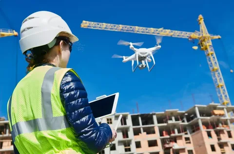
The introduction of aerial photography in the construction sector has led to a transformation in the monitoring, management, and completion of projects. Construction managers, investors, and stakeholders can obtain real-time insights into a project’s progress, efficiently manage resources, and proactively address potential challenges by using aerial imaging, which offers a bird’s-eye view of worksites. Aerial photography for construction in Los Angeles is revolutionizing construction site monitoring in several significant ways in an industry where accuracy and efficiency are critical.
 

Enhanced Site Visualization and Documentation

 
Aerial photography captures the entire construction site in a single frame and produces high-resolution pictures and videos. Project managers can monitor the development of the site from start to finish with the aid of this comprehensive view. As opposed to conventional ground-based photography, aerial photography removes blind areas and offers a wider perspective of the structure and operations of the site. This facilitates accurate documentation of every stage of the project, offering stakeholders tangible evidence of accomplished milestones and a useful resource for future use.


Construction managers can also make a chronology of the project’s development with regular aerial pictures. This visual history enables teams to evaluate each stage and make any necessary improvements without wasting time. These graphics provide clients with concise, understandable updates on the progress of their investment, increasing transparency and satisfaction.

Improved Safety and Risk Management

 
The ability of aerial photography to improve on-site safety is among its most vital benefits in the construction industry. Project managers can see potential risks, like crowded areas or hazardous working conditions, by routinely scanning the site from above. The use of aerial photos to display current circumstances reduces the risk of accidents without the necessity for site staff to be physically present. Moreover, teams can evaluate areas that might be too dangerous for on-the-ground inspections using this type of remote monitoring.


The drones used for aerial photography can also reach places that are difficult to reach, negating the need for ladders, scaffolding, and other potentially hazardous equipment. Aerial imaging aids in putting safety first, ensuring adherence to rules, and proactively addressing problems that could otherwise go overlooked until they become serious threats by offering various perspectives.
 

Accurate Measurements and Data Collection

 
Aerial photography surpasses traditional images because it offers the ability to measure volumes, regions, and distances precisely. Drone-mounted cameras that are frequently connected to GPS data enable precise measurements without interfering with ground-based operations. This accuracy is essential for inventory management because it enables teams to monitor inventories, analyze material usage, and optimize resource allocation.


Project managers can also better plan and make adjustments by having a good grasp of the site’s topography by combining data from aerial photos with 3D modelling software. Construction teams can detect problems in real time with this technological integration, which reduces project delays and boosts productivity.


A revolutionary development in construction site monitoring, aerial photography provides major benefits in terms of site visualization, safety, data accuracy, and cost savings. Construction businesses can shorten project schedules, increase transparency, optimize resource utilization, and improve safety procedures by implementing aerial photography. This technology will probably become an even more crucial tool for monitoring construction sites as it develops further, influencing the sector for years to come.


How Aerial Cinematography is Revolutionizing Travel and Tourism Videos?

Aerial cinematography has taken the world of travel and tourism videos by storm. Showcasing the beauty of the most sought-after locations across the world has taken on a new dimension with the advent of affordable drones and sophisticated camera technology, which has given rise to aerial cinematography.


Here’s how Aerial Cinematography in los angeles is capturing the attention of audiences all around the world and transforming travel and tourism videos. 

Unparalleled Visual Perspectives

 
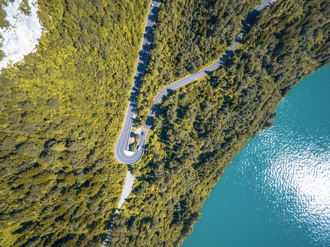
The ability of aerial cinematography to offer amazing perspectives that were previously unattainable or prohibitively expensive to record is one of its biggest advantages. The reliance on traditional videography can restrict the range of content that can be captured from perspectives on the ground. On the other hand, filmmakers can capture expansive cityscapes, endless coastlines, towering cliffs, and wide landscapes with an epic, cinematic flare by using aerial cinematography.


Viewers get a more immersive experience and are inspired to travel when they see these aerial pictures, which convey a feeling of scale and majesty. Aerial cinematography presents a place from a bird’s-eye view, showcasing its splendor from perspectives that are challenging to grasp from the ground above. This viewpoint makes it possible for travel agencies to showcase famous sites, breathtaking natural landscapes, and magnificent buildings.
 

Boosting Engagement Through Visual Appeal

 
Engaging viewers instantly is more important than ever in a day where social media dominates and attention spans are short. Travel and tourist videos may instantly capture viewers’ attention with the “wow” element that aerial filming offers. Aerial photos immediately captivate the eye with their captivating views of vibrant cityscapes, stunning mountain ranges, and exotic beaches.


This translates to more clicks, likes, shares, and engagement for travel-related brands. The distinct viewpoints of aerial cinematography entice spectators to watch videos through to the end, eager to discover what fresh angle will be revealed next. Aerial footage makes tourism videos stand out in a competitive market by offering visually appealing content that creates an impression.
 

Enhancing Destination Storytelling

 
Aerial cinematography improves the narration of travel videos, besides offering breathtaking visuals. The goal of tourism is to stir an emotional response in visitors, and aerial photographs can do just that. They can inspire feelings of adventure, serenity, or wonder. Travel marketers may establish the atmosphere, draw attention to important destinations, and take viewers on a visual journey with the help of aerial cinematography.
 

It aids in setting the scene by illustrating the relationships between various landmarks, the way a city is tucked away between mountains, or the way a resort is situated on the brink of a glistening lagoon. This capacity to narrate from height can produce a trip narrative that is more unified and captivating, engrossing viewers in the location.


Aerial cinematography has completely revolutionized the creation and consumption of travel and tourism videos. Aerial cinematography will surely remain a potent tool in the travel industry, encouraging viewers to pack their bags and set off on their next adventure.


Capturing Unforgettable Moments: The Rise of Drone Photography for Weddings

Los Angeles couples are actually pushing the boundaries of wedding photography in the center of the entertainment city. The rise of drone photography has completely changed how we document and remember one of the most important moments in life. Drones allow photographers to capture perspectives that were previously unattainable, like sweeping aerial photos of beachfront ceremonies or bird’s-eye views of receptions held in sprawling vineyards. Let’s explore how drone photography for weddings in Los Angeles is being transformed by this cutting-edge technology.
 

A New Perspective on Love

 
Drone photography can add a cinematic effect on wedding albums that is unmatched by regular ground-level shots. The options are infinite in Los Angeles, where breathtaking scenery blends with sophisticated metropolitan living. Picture yourself documenting the majesty of a wedding at the famous Griffith Observatory, with the whole cityscape extending behind the blissful couple. Imagine an overhead photograph of a Malibu beach wedding taken at sunset, with the newlyweds framed by the immensity of the Pacific Ocean. These unique angles capture the moment and set it against the stunning backdrop of Los Angeles, resulting in incredibly memorable photos that add to the story of your special day.
 

Versatility Across Venues

 
Drones can be used in a wide variety of wedding settings in Los Angeles, including lush gardens and urban rooftops. Drones can capture the surrounding buildings and the complex design of the Millennium Biltmore Hotel in downtown Los Angeles, which is a popular choice among couples. For those who choose a more rustic event, aerial imagery of Calamigos Ranch in the Santa Monica Mountains highlights the venue’s expansive grounds and natural beauty. With this adaptability, couples may fully record their chosen environment, no matter how unique or large it may be.
 

Creating Cinematic Wedding Videos

 
Although drone technology greatly enhances still photography, its true potential is in filming. With its deep roots in the film industry, Los Angeles has witnessed a rise in demand for cinematic wedding videos. Drone footage gives wedding videos a dynamic touch by allowing transitions between scenes and dramatic venues and surrounding revelations. Imagine a video where the videographer approaches the beach from above, descends smoothly to catch the bride’s entrance, and then pans back to show the complete wedding party against the ocean’s backdrop. Couples may now afford to use these cinematic techniques, which were previously only seen in Hollywood productions, to transform their wedding recordings into high-end movies they will cherish for life.
 

Capturing the Scope of Large Celebrations

 
Many weddings in Los Angeles, a city known for its lavish events, are huge celebrations. Drone photography is an excellent way to capture the grandeur of these spectacular events. Drones can showcase the whole event plan, from the ceremony site to the reception area, providing guests with a comprehensive view of the celebration’s magnitude for weddings conducted at expansive settings like the Huntington Library or the Greystone Mansion.

With drone photography for weddings in Los Angeles, there are now a ton of options available for photographing. Drones are revolutionizing wedding photography by providing new perspectives and producing cinematic videos. Couples in the City of Angels might expect even more imaginative ways to document their wedding day as technology advances, making sure that every special day is recorded from the most breathtaking angles possible.


Aerial Perspectives: Why Commercial Drone Photography Is Essential for Marketing

Any firm that wants to stand out in the competitive market of today needs to rely on the top drone photography companies in Los Angeles. Drone photography gives new and dynamic perspectives that traditional photography just cannot match, especially in busy places like Los Angeles where innovation is crucial. Let’s examine five main reasons why using aerial drone photography in your marketing can elevate your brand.


Capturing Unique Angles for Real Estate and Architecture

 
The real estate and architecture industries in Los Angeles are two of the main markets for commercial drone photography companies. Drones can capture aerial images of properties and buildings that are not possible with ground-based photography. With this, prospective buyers can appreciate the size, location, and surroundings, especially for upscale homes and expansive estates that are common in Los Angeles.

Aerial photographs can help developers and architects showcase architectural features that are often lost in ground-level photos, providing prospective clients with a clearer idea of the size of the project.


Enhanced Event Coverage

 
From business conventions and product launches to red-carpet premieres, Los Angeles is a city of events. Drone photography captures the grandeur and energy of these events in a way that other methods cannot. Marketing materials are more appealing when they feature aerial views of crowds, stage setups, or outdoor settings.

Businesses may showcase the atmosphere of their events and draw more attendance in the future by using aerial footage in their promotional movies or social media campaigns.


Innovative Content for Social Media and Advertising
 
In the realm of online marketing, visually appealing content is essential. Businesses can use commercial drone photography to get visually striking and captivating content for their social media and advertising efforts. Aerial photos are more likely to stop a potential consumer in mid-scroll, regardless of the location—a rooftop bar with a stunning view of the city skyline or an opulent resort tucked away in the hills of Los Angeles.


Cost-Effective and Efficient
 
Hiring an aircraft or helicopter to take aerial photos used to be necessary, and it might be costly and time-consuming. This procedure has been completely transformed by drone technology, which provides a more accessible and economical solution. Commercial drone photographers may produce expert results while saving time and money by swiftly capturing high-quality photographs and movies. It provides a cost-effective solution for creating high-quality marketing content, making it a desirable choice for companies of all kinds.


Environmental Storytelling for Eco-Conscious Brands
 
Environmental consciousness and sustainability are highly valued in Los Angeles. Drone photography is useful for businesses that want to showcase their green spaces or eco-friendly activities because it can capture large landscapes and natural surroundings. It may convey an engaging story of environmental stewardship, whether it’s exhibiting solar panel installations, green construction initiatives, or outdoor environmental campaigns.


In the end

 
commercial drone photographer in Los Angeles plays a vital role for companies trying to improve their marketing. It provides unique, powerful views that traditional photography cannot match in a variety of contexts, including real estate, events, social media content, and environmental storytelling. Using drone technology in your marketing campaign can provide your company with the aerial edge it needs to soar above the competition in a competitive city like Los Angeles.


The Future of Aerial Photography: How Drones are Changing the Game

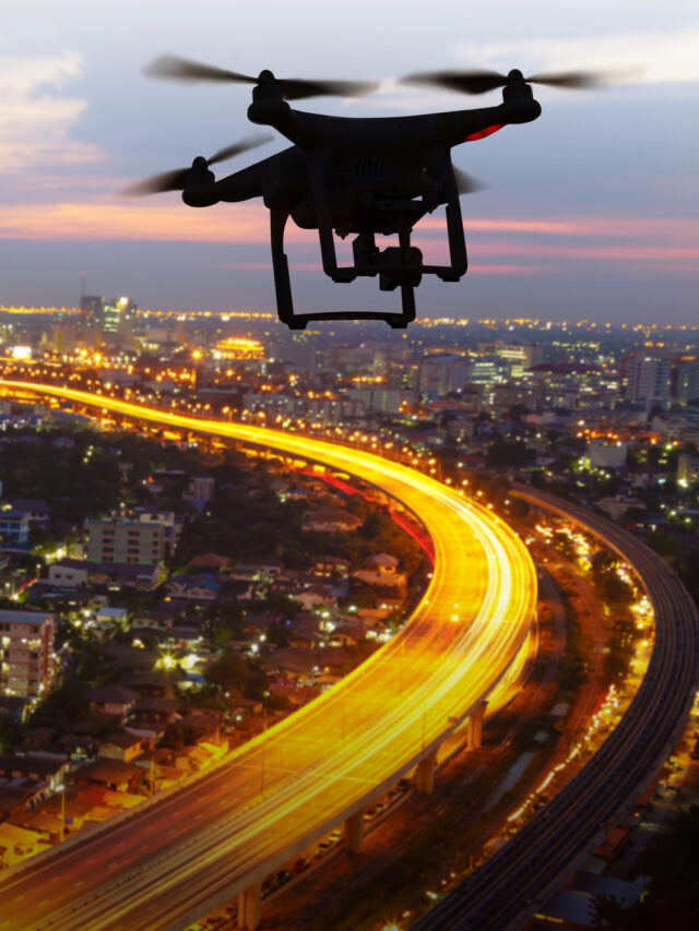
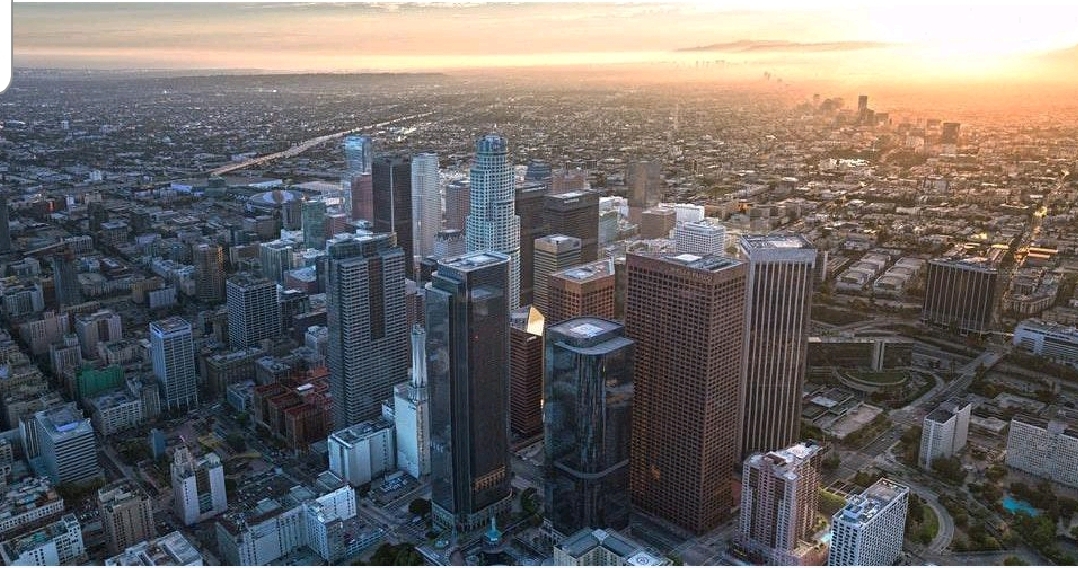
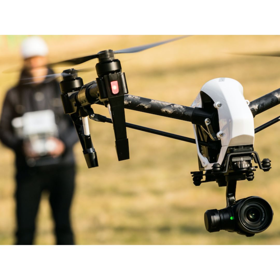
The development of drone technology in recent years has completely revolutionized the field of aerial photography. This shift is more evident in bustling urban centers like Los Angeles, where drones are offering new perspectives on the city’s famous skyline, expensive neighborhoods, and picturesque coastlines. Let’s examine the five main ways that drone technology is transforming aerial photography in Los Angeles.


Accessibility and Affordability


With drones, aerial photography is now more widely available to a greater number of photographers and filmmakers. In the past, renting an expensive helicopter or setting up a complex crane setup was necessary to get aerial images. With affordable drone technology, both professional and amateur photographers can now capture breathtaking aerial vistas in Los Angeles and beyond.


Versatility and Maneuverability


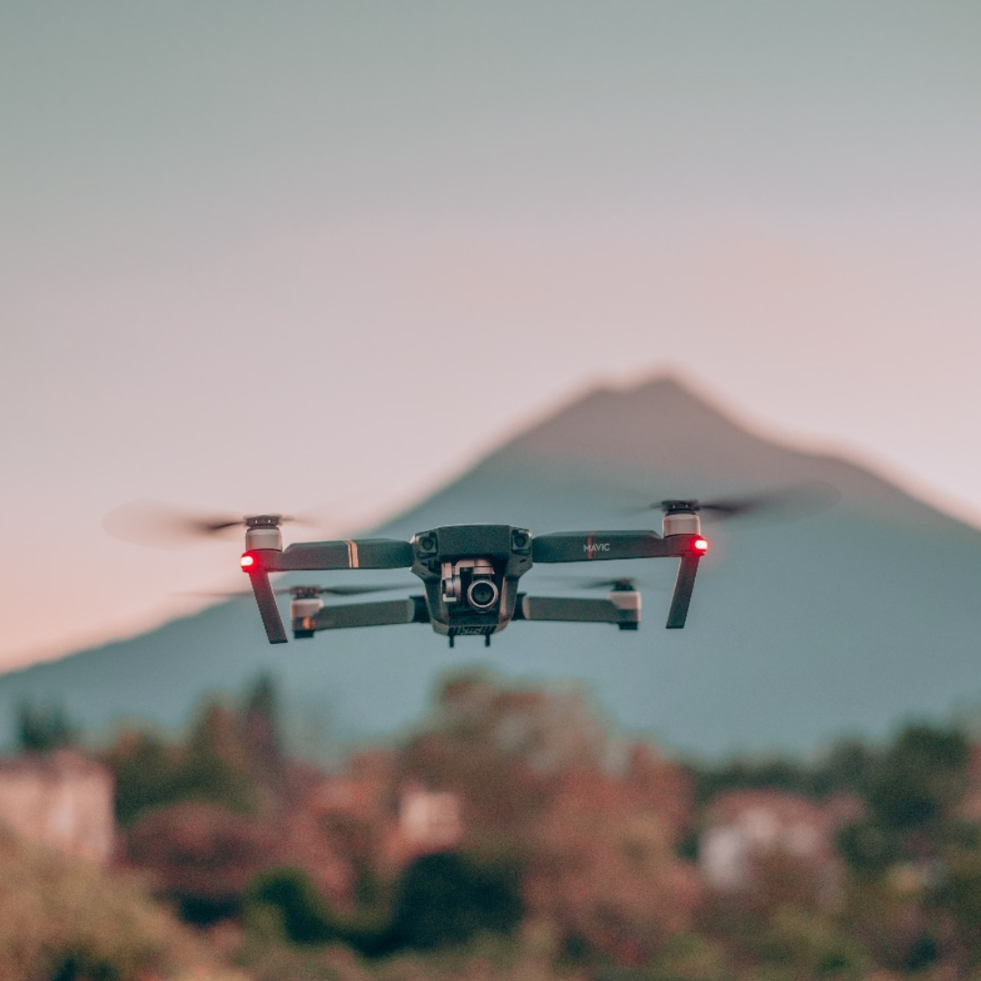
Excellent flight capabilities and compact size of drones enable unparalleled versatility in aerial photography. They can fly at low altitudes, maneuver in confined locations, and capture views that were previously unattainable or very challenging. This means you will be able to maneuver through city canyons, get up close and personal with famous monuments like the Hollywood Sign, or get close-up images of surfers at Venice Beach.


Real-Time Imaging and Instant Feedback


High-quality cameras with modern drones allow real-time video transmission to a controller or smartphone used by the operator. Photographers may instantly modify their composition, exposure, and flight path to guarantee they get the ideal with this fast feedback. This feature is priceless for time-sensitive events in Los Angeles, such as red carpet premieres or breaking news reports, as it enables photographers to provide stunning aerial footage in real time.


Advanced Imaging Technologies


Drones have cameras with imaging capabilities that are evolving along with the technology. High dynamic range (HDR) imagery, 4K or even 8K video resolution, and low-light performance to match regular cameras are already commonplace in many modern drones. These cutting-edge imaging technologies enable photographers to capture the essence of a visually diverse city like Los Angeles in breathtaking detail, from the golden hues of a sunset over the Pacific to the city’s glittering lights at night.


New Applications Beyond Traditional Photography


Not only are drones changing the way we take pictures, but they are also increasing the uses for aerial photography. Aerial photography with drones in Los Angeles is being utilized in Los Angeles for:


● Real estate marketing that provides potential buyers with in-depth aerial property tours.
● Urban development and planning, giving local authorities access to current visual data on infrastructure and land use.
● Monitoring the environment and keeping tabs on ecological shifts in the area, such as urban heat islands and coastal erosion.
● coverage of events that provide unique perspectives on sporting events, festivals, and outdoor concerts.
● Search and rescue efforts, supporting the search for missing people by emergency services, or evaluating disaster areas.

These varied uses show how aerial photography is evolving from a simple artistic pursuit to a potent tool for a range of enterprises and public services with drone technology.


Last words


Drones are transforming the landscape of aerial photography in Los Angeles by presenting previously unimaginable perspectives, creative possibilities, and uses. We can expect even more amazing and inventive aerial imagery as this technology develops, which will revolutionize the way we perceive and comprehend our cities and landscapes.


Solverwp- WordPress Theme and Plugin